
What determines a successful large format scanning process?
Video article: In four videos, Contex’s Director of Support Services, Dan Bennett, presents the top four requirements that are crucial to the success of any large format scanning process.
Video article: In four videos, Contex’s Director of Support Services, Dan Bennett, presents the top four requirements that are crucial to the success of any large format scanning process.
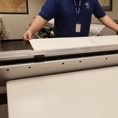
Case study: Texas General Land Office needed a scanner that could rapidly generate accurate images of more than 45,000 maps – complete with stains, creases, and faded colors – without an operator having to spend an inordinate amount of time adjusting each one.
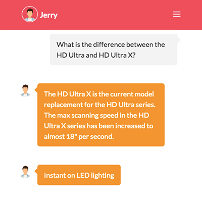
Sep 19, 2019 / Press release: Contex’s chat function is a go-to resource for new customers and seasoned users alike. Scanning experts are available Monday through Friday, 9AM to 5PM Eastern.
Article: Very often it is not enough to just copy and scan. Learn how to increase the value of your originals by enhancing the quality and optimizing them for your specific tasks.
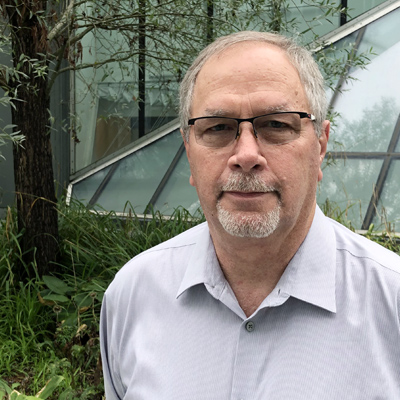
Article: Industry veteran Doyle Cryer has seen his share of scanning advancements in his 30 years in the business. Experience, he claims, is one of the greatest contributors to his success. Because Cryer knows what drives people to acquire large format scanners.
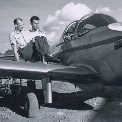
Press release: College Park Aviation Museum acquired a Contex large format flatbed scanner to preserve history and make its collection — especially fragile materials — easily available to visitors, researchers, and other interested parties.
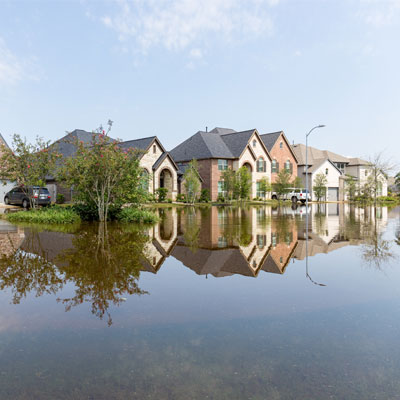
Case study: Devastated by Hurricane Harvey, the City of Houston is rebuilding. Hundreds of blueprints flow daily into its Houston Permitting Center, each one needing to be scanned with speed and accuracy. Any oversight could result in an unsafe build.
Case study: Participating in the design and build of a new archive facility can be a dream assignment for any archivist. The right room climate, counter space, and scanning technologies were must-haves for the University Archives at Texas A&M University-Central Texas. A Contex IQ Quattro and an IQ FLEX scanner ensure that the finest details in delicate documents, books, and framed photos are picked up and digitized.

Case study: Dynamic Reprographics brought in a Contex IQ Quattro scanner to do side by side comparisons with its existing mediocre scanner. The difference was like night and day. Easy to use, high quality results, and automated functionality drew praise from the team.
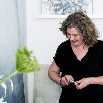
Case study: Color matching is hard to reproduce when digitizing artwork for commercial purposes. Danish artist Sofie Børsting thought that digital photography of her artwork is the only way to achieve the quality she wants. We invited Sofie to visit the Contex demo room in Denmark, where she quickly realized that even the entry-level scanners fulfill her quality demands.
